The Cape of Good Hope (Afrikaans: Kaap die Goeie Hoop, Dutch: Kaap de Goede Hoop, Portuguese: Cabo da Boa Esperança) is a rocky headland on the Atlantic coast of South Africa. It is a common misconception that the Cape of Good Hope is the southern tip of Africa and the dividing point between the Atlantic and Indian Oceans. The true southernmost point is Cape Agulhas, about 200 km (120 mi) southeast. However, when following the coastline from the equator, the Cape of Good Hope marks the psychologically important point where one begins to travel more eastward than southward. Thus the rounding of the cape in 1488 was considered a significant milestone by the Portuguese attempting to establish direct trade relations with India and the Far East.
In 1488, navigator Bartholomew Dias named the Peninsula "Cabo Tormentoso," or the "Cape of Storms." It was later renamed by King John II of Portugal "Cabo da Boa Esperanca"—the Cape of Good Hope, because of the great optimism engendered by opening a sea route to the East.
The term "Cape of Good Hope" was also used to indicate the early Cape Colony commissioned by the Dutch East India Company, and established in 1652 by the merchant Jan van Riebeeck as a re-provisioning station in the vicinity of the Cape Peninsula. Just prior to the formation of the Union of South Africa, the term referred to the entire region that was to become the Cape Province in 1910.
National park
Both the Cape of Good Hope and Cape Point offer spectacular scenery. The whole of the southernmost portion of the Cape Peninsula is the wild, rugged, scenic and generally unspoiled Table Mountain National Park. The park runs approximately north-south along the range of mountains that make up the mountainous spine of the Cape Peninsula, from Signal Hill in the north, through Lion's Head, Table Mountain, Constantiaberg, Silvermine Nature Reserve, the mountains of the southern Peninsula, and terminates at Cape Point.
The park is not a single contiguous area; the undeveloped mountainous areas which make up most of the park are separated by developed urban areas on shallower terrain. Thus the park is divided into three separate sections. The section that covers the southernmost area of the Cape Peninsula stretches from Cape Point and the Cape of Good Hope in the south, as far north as Scarborough on the Atlantic coast and Simon's Town on the False Bay coast. It was formed from the Cape of Good Hope Nature Reserve.
The South African Marine Living Resources Act is strictly enforced throughout the Table Mountain National Park, and especially in marine protected areas. Disturbance or removal of any marine organisms is strictly prohibited between Schusters Bay and Hoek van Bobbejaan, but is allowed in other areas during season.
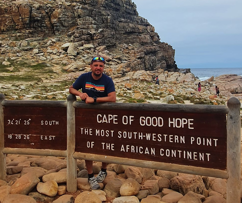
Cape of Good Hope
 Rafael Tejeda
| 2 min read
Rafael Tejeda
| 2 min read
2 years ago
Discussions
Login to Post Comments